
黄龙县 topographic map
Interactive map
Click on the map to display elevation.
About this map
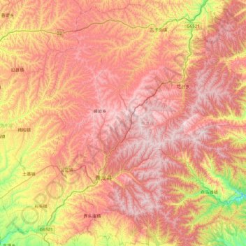
Name: 黄龙县 topographic map, elevation, terrain.
Location: 黄龙县, 延安市, 陕西省, 中国 (35.40695 109.65546 36.03557 110.26765)
Average elevation: 4,183 ft
Minimum elevation: 2,162 ft
Maximum elevation: 5,791 ft
Other topographic maps
Click on a map to view its topography, its elevation and its terrain.