
云岩镇 topographic map
Interactive map
Click on the map to display elevation.
About this map
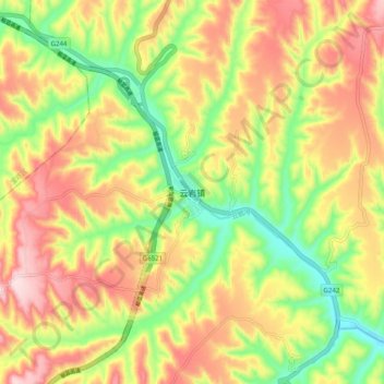
Name: 云岩镇 topographic map, elevation, terrain.
Location: 云岩镇, 延安市, 陕西省, 中国 (36.24031 110.08277 36.32031 110.16277)
Average elevation: 3,150 ft
Minimum elevation: 2,572 ft
Maximum elevation: 3,737 ft
Other topographic maps
Click on a map to view its topography, its elevation and its terrain.