
延川县 topographic map
Interactive map
Click on the map to display elevation.
About this map
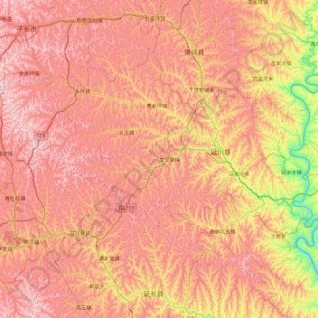
Name: 延川县 topographic map, elevation, terrain.
Location: 延川县, 延安市, 陕西省, 中国 (36.63012 109.60452 37.09740 110.44705)
Average elevation: 3,284 ft
Minimum elevation: 1,657 ft
Maximum elevation: 4,551 ft
Other topographic maps
Click on a map to view its topography, its elevation and its terrain.