
甘泉县 topographic map
Interactive map
Click on the map to display elevation.
About this map
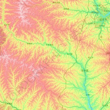
Name: 甘泉县 topographic map, elevation, terrain.
Location: 甘泉县, 延安市, 陕西省, 中国 (36.11677 108.75902 36.62709 109.57072)
Average elevation: 4,127 ft
Minimum elevation: 3,035 ft
Maximum elevation: 5,407 ft
Other topographic maps
Click on a map to view its topography, its elevation and its terrain.