
文山街道 topographic map
Interactive map
Click on the map to display elevation.
About this map
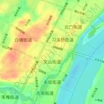
Name: 文山街道 topographic map, elevation, terrain.
Location: 文山街道, 吉州区, 吉安市, 江西省, 中国 (27.10598 114.96633 27.12045 114.99204)
Average elevation: 190 ft
Minimum elevation: 115 ft
Maximum elevation: 269 ft
Other topographic maps
Click on a map to view its topography, its elevation and its terrain.