
长水 topographic map
Interactive map
Click on the map to display elevation.
About this map
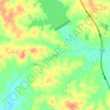
Name: 长水 topographic map, elevation, terrain.
Location: 长水, 吉安市, 江西省, 中国 (27.20940 114.81730 27.24940 114.85730)
Average elevation: 322 ft
Minimum elevation: 220 ft
Maximum elevation: 436 ft
Other topographic maps
Click on a map to view its topography, its elevation and its terrain.