
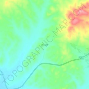
两口塘 topographic map
Interactive map
Click on the map to display elevation.
About this map
Name: 两口塘 topographic map, elevation, terrain.
Location: 两口塘, 吉安市, 江西省, 中国 (26.48922 114.76689 26.52922 114.80689)
Average elevation: 371 ft
Minimum elevation: 236 ft
Maximum elevation: 666 ft
Other topographic maps
Click on a map to view its topography, its elevation and its terrain.