
吉州区 topographic map
Interactive map
Click on the map to display elevation.
About this map
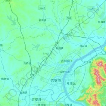
Name: 吉州区 topographic map, elevation, terrain.
Location: 吉州区, 吉安市, 江西省, 中国 (27.03617 114.79450 27.29464 115.11040)
Average elevation: 292 ft
Minimum elevation: 112 ft
Maximum elevation: 1,768 ft
Other topographic maps
Click on a map to view its topography, its elevation and its terrain.