
天玉山 topographic map
Interactive map
Click on the map to display elevation.
About this map
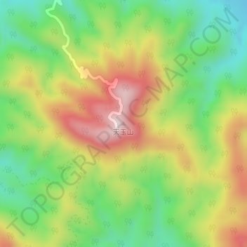
Name: 天玉山 topographic map, elevation, terrain.
Location: 天玉山, 吉安市, 江西省, 中国 (27.13427 115.09458 27.13437 115.09468)
Average elevation: 968 ft
Minimum elevation: 318 ft
Maximum elevation: 1,778 ft
Other topographic maps
Click on a map to view its topography, its elevation and its terrain.