
景洪农场 topographic map
Interactive map
Click on the map to display elevation.
About this map
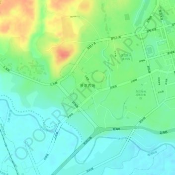
Name: 景洪农场 topographic map, elevation, terrain.
Location: 景洪农场, 景洪市, 西双版纳傣族自治州, 云南省, 666100, 中国 (21.99647 100.77770 22.00397 100.78550)
Average elevation: 1,818 ft
Minimum elevation: 1,752 ft
Maximum elevation: 1,932 ft
Other topographic maps
Click on a map to view its topography, its elevation and its terrain.