
曼蚌 topographic map
Interactive map
Click on the map to display elevation.
About this map
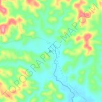
Name: 曼蚌 topographic map, elevation, terrain.
Location: 曼蚌, 景洪市, 西双版纳傣族自治州, 云南省, 666100, 中国 (21.70784 100.67816 21.74784 100.71816)
Average elevation: 2,208 ft
Minimum elevation: 2,024 ft
Maximum elevation: 2,562 ft
Other topographic maps
Click on a map to view its topography, its elevation and its terrain.