
勐罕镇 topographic map
Interactive map
Click on the map to display elevation.
About this map
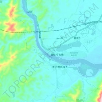
Name: 勐罕镇 topographic map, elevation, terrain.
Location: 勐罕镇, 景洪市, 西双版纳傣族自治州, 云南省, 666100, 中国 (21.81373 100.88529 21.89373 100.96529)
Average elevation: 1,896 ft
Minimum elevation: 1,693 ft
Maximum elevation: 3,136 ft
Other topographic maps
Click on a map to view its topography, its elevation and its terrain.