
勐龙镇 topographic map
Interactive map
Click on the map to display elevation.
About this map
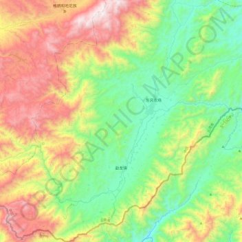
Name: 勐龙镇 topographic map, elevation, terrain.
Location: 勐龙镇, 景洪市, 西双版纳傣族自治州, 云南省, 666100, 中国 (21.45094 100.43093 21.87923 100.88384)
Average elevation: 3,507 ft
Minimum elevation: 1,572 ft
Maximum elevation: 7,106 ft
Other topographic maps
Click on a map to view its topography, its elevation and its terrain.