
东风农场 topographic map
Interactive map
Click on the map to display elevation.
About this map
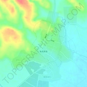
Name: 东风农场 topographic map, elevation, terrain.
Location: 东风农场, 景洪市, 西双版纳傣族自治州, 云南省, 666100, 中国 (21.69804 100.73548 21.71254 100.74663)
Average elevation: 2,031 ft
Minimum elevation: 1,959 ft
Maximum elevation: 2,175 ft
Other topographic maps
Click on a map to view its topography, its elevation and its terrain.