
石牛村 topographic map
Interactive map
Click on the map to display elevation.
About this map
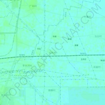
Name: 石牛村 topographic map, elevation, terrain.
Location: 石牛村, 祥符区, 开封市, 河南省, 中国 (34.76209 114.43565 34.80209 114.47565)
Average elevation: 233 ft
Minimum elevation: 223 ft
Maximum elevation: 243 ft
Other topographic maps
Click on a map to view its topography, its elevation and its terrain.