
桥头镇 topographic map
Interactive map
Click on the map to display elevation.
About this map
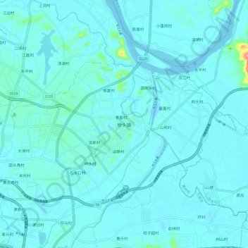
Name: 桥头镇 topographic map, elevation, terrain.
Location: 桥头镇, 东莞市, 广东省, 中国 (22.98631 114.02689 23.06336 114.14612)
Average elevation: 43 ft
Minimum elevation: -23 ft
Maximum elevation: 571 ft
Other topographic maps
Click on a map to view its topography, its elevation and its terrain.