
水濂山森林公园 topographic map
Interactive map
Click on the map to display elevation.
About this map
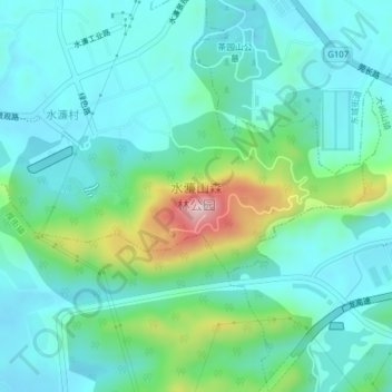
Name: 水濂山森林公园 topographic map, elevation, terrain.
Location: 水濂山森林公园, 南城街道, 东莞市, 广东省, 中国 (22.92031 113.74388 22.94039 113.78291)
Average elevation: 315 ft
Minimum elevation: 72 ft
Maximum elevation: 1,188 ft
Other topographic maps
Click on a map to view its topography, its elevation and its terrain.