
常平镇 topographic map
Interactive map
Click on the map to display elevation.
About this map
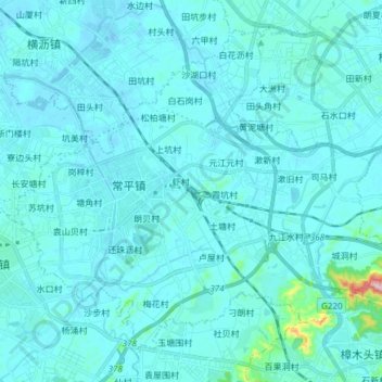
Name: 常平镇 topographic map, elevation, terrain.
Location: 常平镇, 东莞市, 广东省, 523560, 中国 (22.91695 113.94223 23.03414 114.09254)
Average elevation: 62 ft
Minimum elevation: -33 ft
Maximum elevation: 971 ft
Other topographic maps
Click on a map to view its topography, its elevation and its terrain.