
石井村 topographic map
Interactive map
Click on the map to display elevation.
About this map
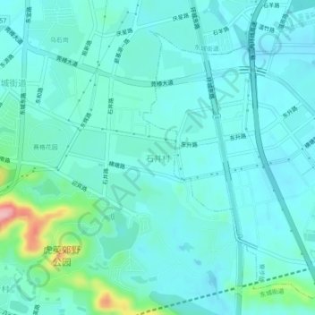
Name: 石井村 topographic map, elevation, terrain.
Location: 石井村, 东莞市, 广东省, 523015, 中国 (23.00086 113.77845 23.04086 113.81845)
Average elevation: 95 ft
Minimum elevation: 13 ft
Maximum elevation: 512 ft
Other topographic maps
Click on a map to view its topography, its elevation and its terrain.