
大朗镇 topographic map
Interactive map
Click on the map to display elevation.
About this map
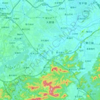
Name: 大朗镇 topographic map, elevation, terrain.
Location: 大朗镇, 东莞市, 广东省, 中国 (22.83181 113.83790 22.98247 113.99129)
Average elevation: 121 ft
Minimum elevation: 0 ft
Maximum elevation: 843 ft
Other topographic maps
Click on a map to view its topography, its elevation and its terrain.