
麻一村 topographic map
Interactive map
Click on the map to display elevation.
About this map
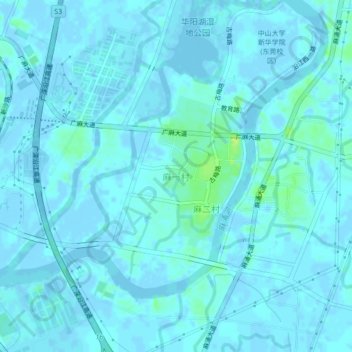
Name: 麻一村 topographic map, elevation, terrain.
Location: 麻一村, 东莞市, 广东省, 中国 (23.03039 113.54426 23.07039 113.58426)
Average elevation: 7 ft
Minimum elevation: -30 ft
Maximum elevation: 46 ft
Other topographic maps
Click on a map to view its topography, its elevation and its terrain.