
盖洋乡 topographic map
Interactive map
Click on the map to display elevation.
About this map
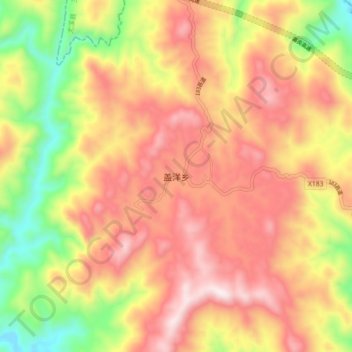
Name: 盖洋乡 topographic map, elevation, terrain.
Location: 盖洋乡, 福州市, 福建省, 中国 (25.79987 118.44455 25.87987 118.52455)
Average elevation: 2,067 ft
Minimum elevation: 728 ft
Maximum elevation: 3,146 ft
Other topographic maps
Click on a map to view its topography, its elevation and its terrain.