
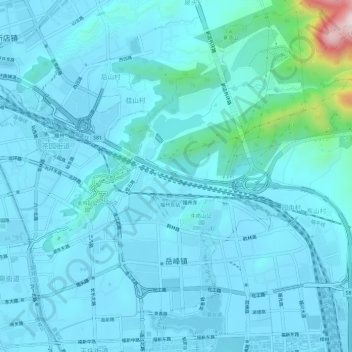
岳峰镇 topographic map
Interactive map
Click on the map to display elevation.
About this map
Name: 岳峰镇 topographic map, elevation, terrain.
Location: 岳峰镇, 晋安区, 福州市, 福建省, 中国 (26.08263 119.31073 26.13633 119.36988)
Average elevation: 177 ft
Minimum elevation: 7 ft
Maximum elevation: 1,916 ft
Other topographic maps
Click on a map to view its topography, its elevation and its terrain.