
福州国家森林公园 topographic map
Interactive map
Click on the map to display elevation.
About this map
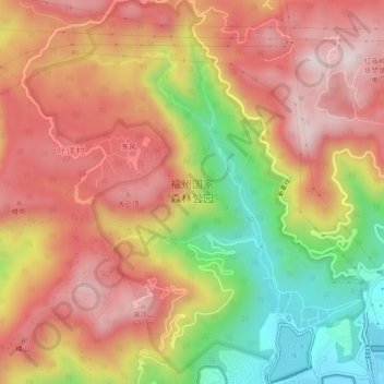
Name: 福州国家森林公园 topographic map, elevation, terrain.
Location: 福州国家森林公园, 晋安区, 福州市, 福建省, 中国 (26.14473 119.25524 26.18562 119.29624)
Average elevation: 1,217 ft
Minimum elevation: 82 ft
Maximum elevation: 2,041 ft
Other topographic maps
Click on a map to view its topography, its elevation and its terrain.