
金瓜山 topographic map
Interactive map
Click on the map to display elevation.
About this map
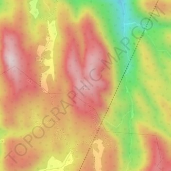
Name: 金瓜山 topographic map, elevation, terrain.
Location: 金瓜山, 福州市, 闽侯县, 福建省, 中国 (26.00467 119.08456 26.00477 119.08466)
Average elevation: 2,520 ft
Minimum elevation: 1,549 ft
Maximum elevation: 3,094 ft
Other topographic maps
Click on a map to view its topography, its elevation and its terrain.