
王庄街道 topographic map
Interactive map
Click on the map to display elevation.
About this map
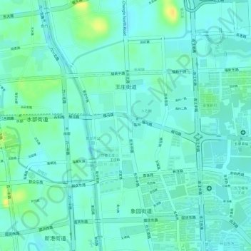
Name: 王庄街道 topographic map, elevation, terrain.
Location: 王庄街道, 晋安区, 福州市, 福建省, 中国 (26.07276 119.31528 26.08450 119.33045)
Average elevation: 36 ft
Minimum elevation: 10 ft
Maximum elevation: 95 ft
Other topographic maps
Click on a map to view its topography, its elevation and its terrain.