
海坛街道 topographic map
Interactive map
Click on the map to display elevation.
About this map
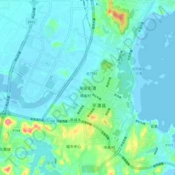
Name: 海坛街道 topographic map, elevation, terrain.
Location: 海坛街道, 福州市, 福建省, 350400, 中国 (25.46946 119.74058 25.54946 119.82058)
Average elevation: 59 ft
Minimum elevation: -10 ft
Maximum elevation: 384 ft
Other topographic maps
Click on a map to view its topography, its elevation and its terrain.