
上街镇 topographic map
Interactive map
Click on the map to display elevation.
About this map
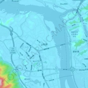
Name: 上街镇 topographic map, elevation, terrain.
Location: 上街镇, 福州市, 福建省, 350008, 中国 (26.03681 119.16142 26.11681 119.24142)
Average elevation: 79 ft
Minimum elevation: -3 ft
Maximum elevation: 2,313 ft
Other topographic maps
Click on a map to view its topography, its elevation and its terrain.