
狮石乡 topographic map
Interactive map
Click on the map to display elevation.
About this map
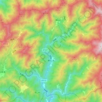
Name: 狮石乡 topographic map, elevation, terrain.
Location: 狮石乡, 歙县, 黄山市, 安徽省, 中国 (29.50890 118.41704 29.59571 118.49445)
Average elevation: 2,379 ft
Minimum elevation: 692 ft
Maximum elevation: 4,452 ft
Other topographic maps
Click on a map to view its topography, its elevation and its terrain.