
石门乡 topographic map
Interactive map
Click on the map to display elevation.
About this map
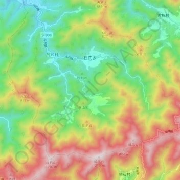
Name: 石门乡 topographic map, elevation, terrain.
Location: 石门乡, 歙县, 黄山市, 安徽省, 中国 (29.58535 118.39813 29.64406 118.48644)
Average elevation: 1,946 ft
Minimum elevation: 577 ft
Maximum elevation: 3,822 ft
Other topographic maps
Click on a map to view its topography, its elevation and its terrain.