
小川乡 topographic map
Interactive map
Click on the map to display elevation.
About this map
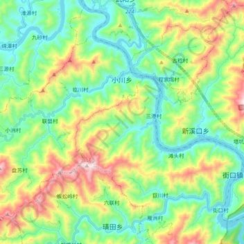
Name: 小川乡 topographic map, elevation, terrain.
Location: 小川乡, 歙县, 黄山市, 安徽省, 中国 (29.72517 118.55230 29.83410 118.71041)
Average elevation: 1,207 ft
Minimum elevation: 295 ft
Maximum elevation: 3,189 ft
Other topographic maps
Click on a map to view its topography, its elevation and its terrain.