
Lina topographic map
Interactive map
Click on the map to display elevation.
About this map
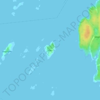
Name: Lina topographic map, elevation, terrain.
Location: Lina, Hvaler, Viken, Norwegen (59.10371 11.09964 59.10867 11.10588)
Average elevation: 7 ft
Minimum elevation: 0 ft
Maximum elevation: 89 ft
Other topographic maps
Click on a map to view its topography, its elevation and its terrain.
Hammern
Norwegen > Viken > Fredrikstad > Torsnes
Hammern, Torsnes, Fredrikstad, Viken, Norwegen
Average elevation: 98 ft