
Råholt topographic map
Interactive map
Click on the map to display elevation.
About this map
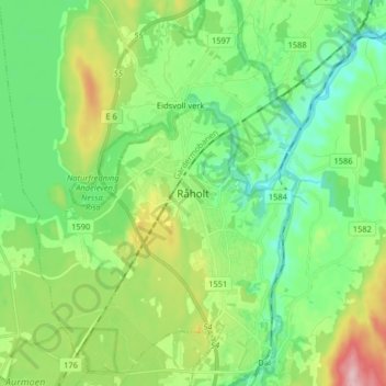
Name: Råholt topographic map, elevation, terrain.
Location: Råholt, Eidsvoll, Viken, 2070, Norwegen (60.24386 11.13287 60.32386 11.21287)
Average elevation: 620 ft
Minimum elevation: 413 ft
Maximum elevation: 1,099 ft
Other topographic maps
Click on a map to view its topography, its elevation and its terrain.
Hammern
Norwegen > Viken > Fredrikstad > Torsnes
Hammern, Torsnes, Fredrikstad, Viken, Norwegen
Average elevation: 98 ft