
Blestølen topographic map
Interactive map
Click on the map to display elevation.
About this map
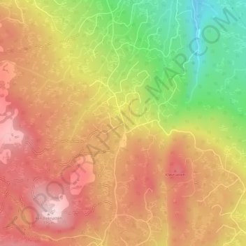
Name: Blestølen topographic map, elevation, terrain.
Location: Blestølen, Flesberg, Viken, 3623, Norwegen (59.75966 9.43430 59.77966 9.45430)
Average elevation: 2,156 ft
Minimum elevation: 1,647 ft
Maximum elevation: 2,510 ft
Other topographic maps
Click on a map to view its topography, its elevation and its terrain.
Hammern
Norwegen > Viken > Fredrikstad > Torsnes
Hammern, Torsnes, Fredrikstad, Viken, Norwegen
Average elevation: 98 ft