
Kville topographic map
Interactive map
Click on the map to display elevation.
About this map
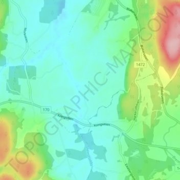
Name: Kville topographic map, elevation, terrain.
Location: Kville, Lillestrøm, Viken, 1925, Norwegen (59.93506 11.33663 59.97506 11.37663)
Average elevation: 541 ft
Minimum elevation: 410 ft
Maximum elevation: 932 ft
Other topographic maps
Click on a map to view its topography, its elevation and its terrain.
Hammern
Norwegen > Viken > Fredrikstad > Torsnes
Hammern, Torsnes, Fredrikstad, Viken, Norwegen
Average elevation: 98 ft