
Ål topographic map
Interactive map
Click on the map to display elevation.
About this map
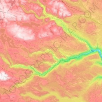
Name: Ål topographic map, elevation, terrain.
Location: Ål, Viken, Norwegen (60.47050 7.77517 60.92405 8.84388)
Average elevation: 3,356 ft
Minimum elevation: 630 ft
Maximum elevation: 6,083 ft
Other topographic maps
Click on a map to view its topography, its elevation and its terrain.
Hammern
Norwegen > Viken > Fredrikstad > Torsnes
Hammern, Torsnes, Fredrikstad, Viken, Norwegen
Average elevation: 98 ft