
Jessheim topographic map
Interactive map
Click on the map to display elevation.
About this map
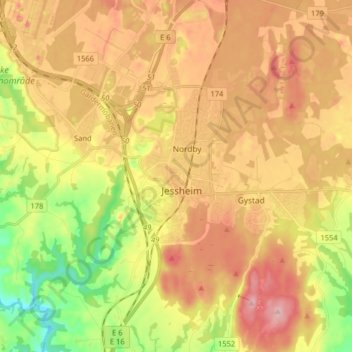
Name: Jessheim topographic map, elevation, terrain.
Location: Jessheim, Ullensaker, Viken, 2066, Norwegen (60.10151 11.13515 60.18151 11.21515)
Average elevation: 627 ft
Minimum elevation: 358 ft
Maximum elevation: 866 ft
Other topographic maps
Click on a map to view its topography, its elevation and its terrain.
Hammern
Norwegen > Viken > Fredrikstad > Torsnes
Hammern, Torsnes, Fredrikstad, Viken, Norwegen
Average elevation: 98 ft