
澡洗塘村 topographic map
Interactive map
Click on the map to display elevation.
About this map
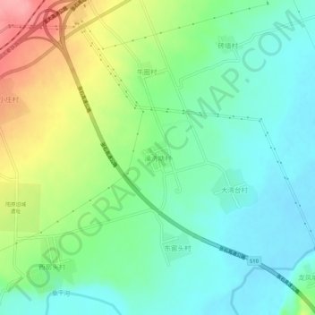
Name: 澡洗塘村 topographic map, elevation, terrain.
Location: 澡洗塘村, 张家口市, 河北省, 中国 (40.19167 114.56148 40.23167 114.60148)
Average elevation: 2,789 ft
Minimum elevation: 2,671 ft
Maximum elevation: 3,028 ft
Other topographic maps
Click on a map to view its topography, its elevation and its terrain.