
南口沙沟河 topographic map
Interactive map
Click on the map to display elevation.
About this map
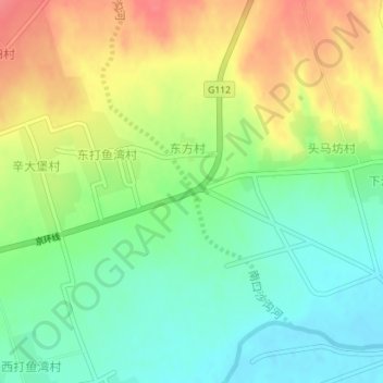
Name: 南口沙沟河 topographic map, elevation, terrain.
Location: 南口沙沟河, 阳原县, 张家口市, 河北省, 中国 (40.24882 114.64703 40.24889 114.64707)
Average elevation: 2,733 ft
Minimum elevation: 2,638 ft
Maximum elevation: 2,858 ft
Other topographic maps
Click on a map to view its topography, its elevation and its terrain.