
张北县 topographic map
Interactive map
Click on the map to display elevation.
About this map
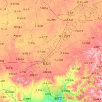
Name: 张北县 topographic map, elevation, terrain.
Location: 张北县, 张家口市, 河北省, 中国 (40.94929 114.17434 41.57395 115.45346)
Average elevation: 4,570 ft
Minimum elevation: 2,405 ft
Maximum elevation: 7,034 ft
Other topographic maps
Click on a map to view its topography, its elevation and its terrain.