
阳原县 topographic map
Interactive map
Click on the map to display elevation.
About this map
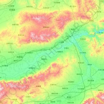
Name: 阳原县 topographic map, elevation, terrain.
Location: 阳原县, 张家口市, 河北省, 中国 (39.89428 113.90292 40.37386 114.80599)
Average elevation: 3,816 ft
Minimum elevation: 2,395 ft
Maximum elevation: 6,903 ft
Other topographic maps
Click on a map to view its topography, its elevation and its terrain.