
上察汉陀罗村 topographic map
Interactive map
Click on the map to display elevation.
About this map
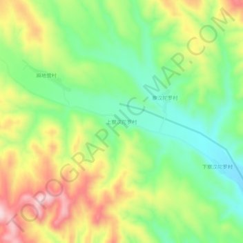
Name: 上察汉陀罗村 topographic map, elevation, terrain.
Location: 上察汉陀罗村, 张家口市, 河北省, 中国 (40.95421 114.88345 40.99421 114.92345)
Average elevation: 3,622 ft
Minimum elevation: 3,196 ft
Maximum elevation: 4,213 ft
Other topographic maps
Click on a map to view its topography, its elevation and its terrain.