
头泉梁 topographic map
Interactive map
Click on the map to display elevation.
About this map
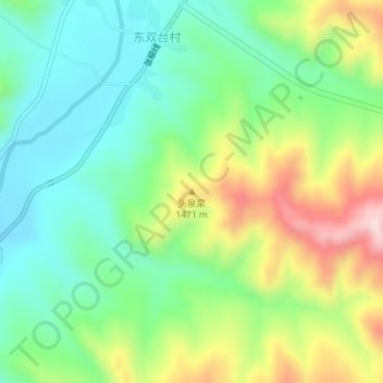
Name: 头泉梁 topographic map, elevation, terrain.
Location: 头泉梁, 张家口市, 河北省, 中国 (40.96563 115.18667 40.96573 115.18677)
Average elevation: 4,259 ft
Minimum elevation: 3,878 ft
Maximum elevation: 4,961 ft
Other topographic maps
Click on a map to view its topography, its elevation and its terrain.