
左卫镇 topographic map
Interactive map
Click on the map to display elevation.
About this map
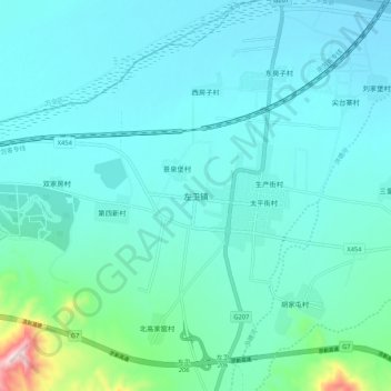
Name: 左卫镇 topographic map, elevation, terrain.
Location: 左卫镇, 张家口市, 河北省, 中国 (40.63898 114.65656 40.71898 114.73656)
Average elevation: 2,438 ft
Minimum elevation: 2,218 ft
Maximum elevation: 3,904 ft
Other topographic maps
Click on a map to view its topography, its elevation and its terrain.