
东猴顶 topographic map
Interactive map
Click on the map to display elevation.
About this map
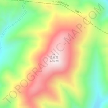
Name: 东猴顶 topographic map, elevation, terrain.
Location: 东猴顶, 张家口市, 河北省, 中国 (41.35549 116.13924 41.35559 116.13934)
Average elevation: 6,335 ft
Minimum elevation: 5,207 ft
Maximum elevation: 7,516 ft
Other topographic maps
Click on a map to view its topography, its elevation and its terrain.