
松江区 topographic map
Interactive map
Click on the map to display elevation.
About this map
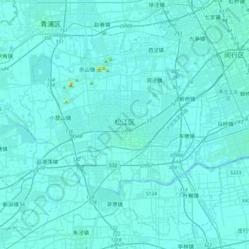
Name: 松江区 topographic map, elevation, terrain.
Location: 松江区, 上海市, 中国 (30.89692 121.01949 31.16303 121.36824)
Average elevation: 13 ft
Minimum elevation: -7 ft
Maximum elevation: 266 ft
Other topographic maps
Click on a map to view its topography, its elevation and its terrain.