
门头沟区 topographic map
Interactive map
Click on the map to display elevation.
About this map
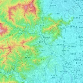
Name: 门头沟区 topographic map, elevation, terrain.
Location: 门头沟区, 北京市, 中国 (39.77900 115.93476 40.09900 116.25476)
Average elevation: 876 ft
Minimum elevation: 95 ft
Maximum elevation: 4,793 ft
Other topographic maps
Click on a map to view its topography, its elevation and its terrain.