
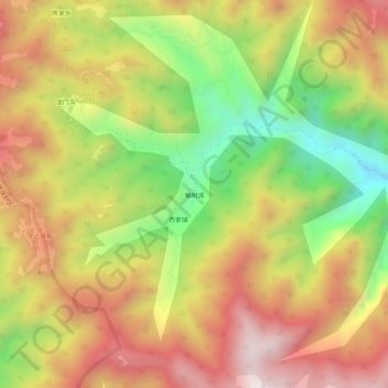
榆树湾 topographic map
Interactive map
Click on the map to display elevation.
About this map
Name: 榆树湾 topographic map, elevation, terrain.
Location: 榆树湾, 门头沟区, 北京市, 中国 (40.05004 115.55886 40.09004 115.59886)
Average elevation: 4,298 ft
Minimum elevation: 2,795 ft
Maximum elevation: 5,633 ft
Other topographic maps
Click on a map to view its topography, its elevation and its terrain.