
张家山 topographic map
Interactive map
Click on the map to display elevation.
About this map
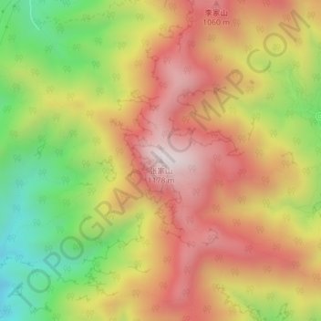
Name: 张家山 topographic map, elevation, terrain.
Location: 张家山, 门头沟区, 北京市, 中国 (40.05202 115.93156 40.05212 115.93166)
Average elevation: 2,592 ft
Minimum elevation: 1,188 ft
Maximum elevation: 3,773 ft
Other topographic maps
Click on a map to view its topography, its elevation and its terrain.