
清水镇 topographic map
Interactive map
Click on the map to display elevation.
About this map
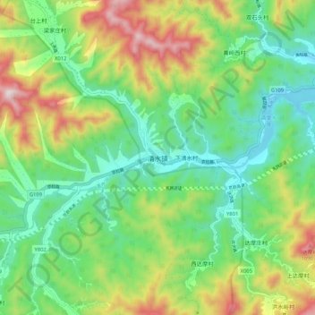
Name: 清水镇 topographic map, elevation, terrain.
Location: 清水镇, 门头沟区, 北京市, 中国 (39.90336 115.57536 39.98336 115.65536)
Average elevation: 2,244 ft
Minimum elevation: 1,447 ft
Maximum elevation: 3,780 ft
Other topographic maps
Click on a map to view its topography, its elevation and its terrain.